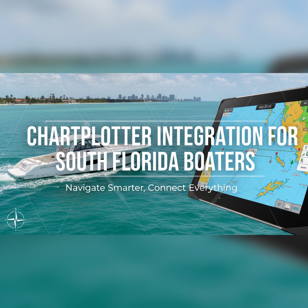
When your Garmin chartplotter at the helm shows one route while your Simrad display at the flybridge shows another, you don’t just have a technical problem—you have a safety risk. Multi-display marine navigation systems have become essential for South Florida cruisers running offshore to the Bahamas or navigating the complexities of the Intracoastal Waterway, but proper integration requires more than mounting screens and connecting cables.
Marine chartplotter integration involves creating a unified electronics ecosystem where multiple displays share data seamlessly across your vessel. For South Florida boaters operating in challenging conditions—from the Gulf Stream’s powerful currents to sudden afternoon thunderstorms—synchronized navigation displays provide redundancy, improved situational awareness, and the ability to monitor critical information from multiple stations.
Understanding Multi-Display Marine Navigation Systems
A properly integrated multi-display system connects two or more chartplotters through a common network backbone, allowing them to share waypoints, routes, radar data, sonar information, and AIS targets in real-time. This integration transforms independent devices into a cohesive navigation solution that enhances safety and convenience.
The foundation of modern marine chartplotter installation is the NMEA 2000 network—a standardized communication protocol that allows marine electronics from different manufacturers to exchange data. Unlike older NMEA 0183 systems that used point-to-point connections, NMEA 2000 creates a network backbone where devices connect to a central bus, similar to how USB devices connect to a computer.
Key Components of Integrated Systems
- Network Backbone: Marine-grade cabling (typically Micro-C or Mini-C connectors) rated for saltwater environments
- Power Distribution: Proper voltage regulation and circuit protection for multiple displays
- Data Sources: GPS receivers, radar, sonar transducers, AIS transceivers, and sensor arrays
- Display Units: Chartplotters at helm, flybridge, and cockpit stations with appropriate screen sizes and visibility ratings
- Gateway Devices: Converters that allow legacy NMEA 0183 equipment to communicate with modern NMEA 2000 networks
Benefits for South Florida Boating Conditions
South Florida’s unique marine environment presents specific challenges that make integrated navigation systems particularly valuable. Operating between the shallow waters of Florida Bay and the deep blue of the Gulf Stream requires equipment that performs reliably across diverse conditions.
Redundancy for Offshore Crossings
When making the crossing to Bimini or the Abacos, equipment redundancy isn’t luxury—it’s prudent seamanship. Integrated displays provide backup navigation capability if one unit fails. More importantly, they allow different crew members to monitor navigation simultaneously, with the captain at the flybridge and mate at the helm both viewing identical route information, radar returns, and depth soundings.
Enhanced Situational Awareness
Navigating through St. Lucie Inlet during an outgoing tide or threading through the markers near the Roosevelt Bridge demands constant awareness. Multi-display systems let you view radar overlay on one screen while monitoring depth contours and fish-finding sonar on another. This divided attention capability reduces the need to toggle between screens at critical moments.
Weather Monitoring Integration
South Florida’s rapid weather changes require constant vigilance. Modern Garmin marine installation and other advanced systems integrate weather radar, lightning detection, and satellite weather overlays. Having this information available at multiple stations means the crew member watching lines during docking can monitor approaching storms while the captain focuses on maneuvering.
Professional Marine GPS Installation Considerations
Successful yacht electronics installation requires understanding both technical specifications and practical operational requirements. The difference between a system that works and one that excels comes down to proper planning and execution.
Network Architecture Design
Every vessel has unique requirements based on size, usage patterns, and existing equipment. A 30-foot center console running to the Bahamas needs different architecture than a 60-foot sportfish with tower controls and a separate cockpit station. Proper design considers:
- Number and location of display stations
- Data bandwidth requirements for radar, sonar, and camera systems
- Power supply capacity and circuit protection
- Cable routing that protects against chafe, moisture intrusion, and electromagnetic interference
- Future expansion capabilities for additional sensors or displays
Display Selection and Placement
Not all chartplotters perform equally in South Florida’s intense sunlight. Display technology, screen size, and brightness ratings matter significantly. An NMEA certified installer evaluates viewing angles, glare conditions, and operational ergonomics for each station. Helm-mounted displays need different specifications than flybridge units that face direct overhead sun exposure.
Installation height, tilt angle, and proximity to the helm all affect usability. A display mounted too high forces operators to look away from the water; mounted too low creates glare problems. Professional boat electronics Fort Lauderdale specialists understand these nuances and position equipment for optimal visibility and operational efficiency.
Proper Grounding and Power Distribution
Marine electronics are sensitive to voltage fluctuations and electrical noise. Integrated systems with multiple displays, radar units, and high-powered sonar require clean, stable power. This means dedicated circuit breakers, properly sized wiring, and attention to grounding that prevents ground loops—a common source of interference that causes screen flickering, GPS drift, and data corruption.
South Florida’s saltwater environment accelerates corrosion at connection points. Every terminal, connector, and junction box requires marine-grade components with appropriate IP ratings. Cutting corners on connectors or using automotive-grade terminals leads to failures, often at the worst possible moments.
Brand Integration Challenges and Solutions
Many boat owners wonder whether they can mix brands—combining existing Raymarine equipment with new Garmin displays, for example. While NMEA 2000 theoretically allows cross-brand communication, practical limitations exist.
Single-Brand Ecosystems
Garmin, Raymarine, Simrad, and Furuno each offer proprietary features that work best within their own ecosystems. Garmin’s Panoptix sonar, Raymarine’s ClearCruise augmented reality, and Simrad’s ForwardScan require brand-specific displays to access full functionality. When planning marine navigation systems, the decision to commit to one manufacturer or create a hybrid system has long-term implications.
Gateway Solutions
For vessels with quality existing equipment, gateway devices allow newer technology to communicate with legacy systems. These converters translate between NMEA 0183 and NMEA 2000, or between different proprietary protocols. However, not all data translates perfectly, and some advanced features may be lost in conversion.
Common Integration Problems and Professional Solutions
Even well-planned systems encounter issues. Understanding common problems helps boat owners recognize when professional intervention is necessary.
Network Communication Failures
When displays show different GPS positions or radar images freeze, network communication has broken down. This typically results from improper termination resistors, excessive cable lengths exceeding network specifications, or voltage drops on the network backbone. An NMEA certified installer has the diagnostic tools to measure network health, identify failing components, and restore proper communication.
GPS Drift and Position Errors
Integrated systems should share a single GPS position source across all displays. When chartplotters show different positions—sometimes hundreds of feet apart—it indicates multiple GPS receivers fighting for network priority or improper configuration of data sources. This creates dangerous situations when relying on precise navigation around markers or through inlet channels.
Radar Integration Issues
Radar overlay on chartplotter displays provides powerful situational awareness, but alignment problems are common. When radar targets don’t align with chart features or AIS symbols appear offset from actual positions, calibration and bearing alignment need professional attention. These adjustments require understanding both radar operation and network data timing.
Future-Proofing Your Marine Electronics Investment
Technology advances rapidly, and today’s cutting-edge chartplotter becomes tomorrow’s outdated equipment. Smart planning extends the useful life of your yacht electronics installation.
Installing oversized network backbones accommodates future sensors and displays without rewiring. Choosing display units with software upgrade capabilities ensures access to new features and chart improvements. Documenting your system architecture—including network diagrams, device serial numbers, and configuration settings—simplifies troubleshooting and future modifications.
South Florida’s growing emphasis on fish-finding technology, underwater camera systems, and integrated autopilot functions means your network will likely need expansion. Professional marine chartplotter installation includes planning for these additions, with spare network drops, adequate power capacity, and physical mounting locations reserved for future equipment.
Hurricane Preparation for Integrated Systems
South Florida boaters face annual hurricane season concerns. Integrated electronics systems require specific preparation to survive storm conditions. Removable displays should be unmounted and stored in waterproof cases. Fixed installations need protective covers rated for wind-driven rain. Disconnecting power and network cables at junction boxes prevents lightning damage transmitted through the network.
Many boat owners photograph their electronics installations before storm season, documenting cable connections and configuration settings. This documentation proves invaluable if systems require reinstallation or replacement after a storm.
Frequently Asked Questions
Can I install a multi-display chartplotter system myself?
While technically possible, professional installation ensures proper network architecture, correct device configuration, and reliable performance. Mistakes in network design, termination, or power distribution often aren’t apparent until you’re offshore and need your equipment most. The cost of professional marine GPS installation is minimal compared to vessel value and safety considerations.
How many displays do I need for my boat?
This depends on vessel size, layout, and usage. Most boats benefit from at least two displays—one at the primary helm and one backup location. Larger vessels with flybridge controls need displays at each station. Serious offshore boats often add cockpit-mounted displays for fishing applications and navigation monitoring while fighting fish.
Will my existing electronics work with new chartplotters?
Most modern marine electronics manufactured after 2010 support NMEA 2000 connectivity. Older NMEA 0183 equipment can often integrate through gateway devices. A qualified installer can evaluate your existing equipment and recommend integration strategies that preserve your investment while adding new capabilities.
How long does professional installation take?
Installation timeframe varies by system complexity. A basic two-display integration on a center console typically requires one to two days. Complex yacht electronics installation with multiple displays, radar integration, sonar networking, and extensive cable runs may require a week or more. Proper installation shouldn’t be rushed—quality workmanship requires time for proper mounting, cable routing, testing, and calibration.
What’s the difference between NMEA 2000 and NMEA 0183?
NMEA 0183 is an older point-to-point protocol where each device connects directly to others through individual wire pairs. NMEA 2000 uses a network backbone where all devices connect to a common bus, allowing easier expansion and higher data transfer rates. Most modern marine navigation systems use NMEA 2000, though many still support NMEA 0183 for backward compatibility.
Trust Professional Installation for Safety and Reliability
Marine chartplotter integration represents a significant investment in your vessel’s safety and capability. While South Florida’s competitive marine electronics market offers many options, proper installation requires factory training, NMEA certification, and extensive practical experience with the unique challenges of our marine environment.
Marine Electronics Installations specializes in comprehensive yacht electronics installation for South Florida boaters. Our factory-trained technicians understand the technical requirements and practical realities of creating reliable, integrated navigation systems that perform when you need them most. From basic dual-display installations to complex network architectures on large yachts, we deliver professional results backed by proper training and local expertise.
Contact Marine Electronics Installations at (772) 634-6055 or visit our Stuart facility at 7892 SW Jack James Dr, Stuart, FL, 34997 to discuss your marine navigation systems requirements. We’ll evaluate your current equipment, understand your boating needs, and design an integrated solution that enhances safety, convenience, and operational capability for your South Florida cruising.