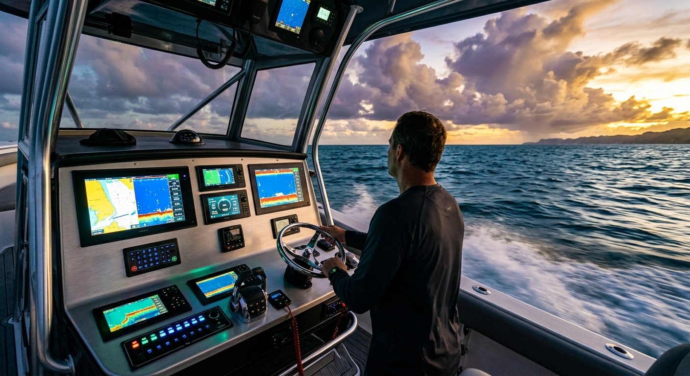
The distance from Lake Worth Inlet to West End, Grand Bahama is roughly 55 nautical miles. On paper, it looks straightforward. In reality, it means crossing the Gulf Stream—one of the most dynamic and unpredictable bodies of water in the Western Hemisphere—aboard a vessel that had better have reliable, properly integrated electronics before you leave the dock. Every year, boaters depart from Stuart, Jupiter, and Palm Beach with outdated or poorly installed gear and find themselves in situations that proper equipment could have prevented.
Whether you’re planning your first Bahamas crossing or your fifteenth, the electronics package on your vessel deserves serious consideration before you go offshore. This guide covers the essential gear for 2026 Bahamas passages, what specifications actually matter, and why professional installation makes the difference between a system that works and one that fails when it counts.
Why Bahamas Crossings Demand More Than Coastal Electronics
Boating in the Bahamas is fundamentally different from running along the Florida Intracoastal or fishing near the St. Lucie Inlet. Once you clear the Gulf Stream, you’re operating in a foreign country’s waters, often without cellular service, with rapidly changing sea states and weather patterns. Your electronics need to handle extended offshore exposure, blue-water navigation, and communication requirements that go well beyond what a day-trip setup requires.
The Gulf Stream itself adds complexity. Its northward current can push vessels significantly off course if navigational plotting doesn’t account for set and drift. A chartplotter with outdated cartography or a GPS antenna that hasn’t been properly calibrated can contribute to dangerous positional errors in open water. This is not a scenario for guesswork or substandard gear.
Marine GPS and Chartplotters: The Foundation of Offshore Navigation
A high-quality chartplotter with current Bahamian charts is non-negotiable for any crossing. In 2026, the leading multifunction displays (MFDs) from Garmin, Simrad, Furuno, and Raymarine integrate GPS, sonar, radar overlay, and AIS into a single networked system. But the hardware is only part of the equation.
Cartography That Actually Covers Bahamian Waters
Navionics+ and C-MAP charts both offer detailed Bahamian coverage, including depth contours, hazards, and marina information. The shallow Bahamian banks demand precision—areas like the Berry Islands and the Exumas have thin water that punishes navigational overconfidence. Current chart subscriptions should be verified before departure, not after you’ve already left Fort Lauderdale.
GPS Antenna Placement and Signal Integrity
Even the best chartplotter is limited by a poorly mounted GPS antenna. Antenna placement must account for potential interference from other electronics, radar domes, and VHF antennas. An NMEA-certified installer evaluates placement geometry and cable routing to ensure signal integrity throughout the vessel’s electronic architecture. This technical detail directly affects positional accuracy offshore.
VHF Radio and DSC: Your Lifeline in Foreign Waters
The U.S. Coast Guard Navigation Center and Bahamian maritime authorities both monitor VHF Channel 16. A fixed-mount VHF radio with Digital Selective Calling (DSC) capability is required for vessels operating in Bahamian waters, and it must be properly registered with an Maritime Mobile Service Identity (MMSI) number to function as an emergency distress signal tool.
DSC allows a single button press to transmit your vessel’s GPS position to rescue authorities automatically. For this to work, your VHF must be connected to your GPS source via an NMEA 2000 or NMEA 0183 network. This integration is one of the most commonly overlooked aspects of offshore electronics prep—and one of the most critical. A standalone VHF that isn’t networked to your GPS is missing its most important safety feature.
NMEA 2000 Network Integration: The Backbone of a Reliable System
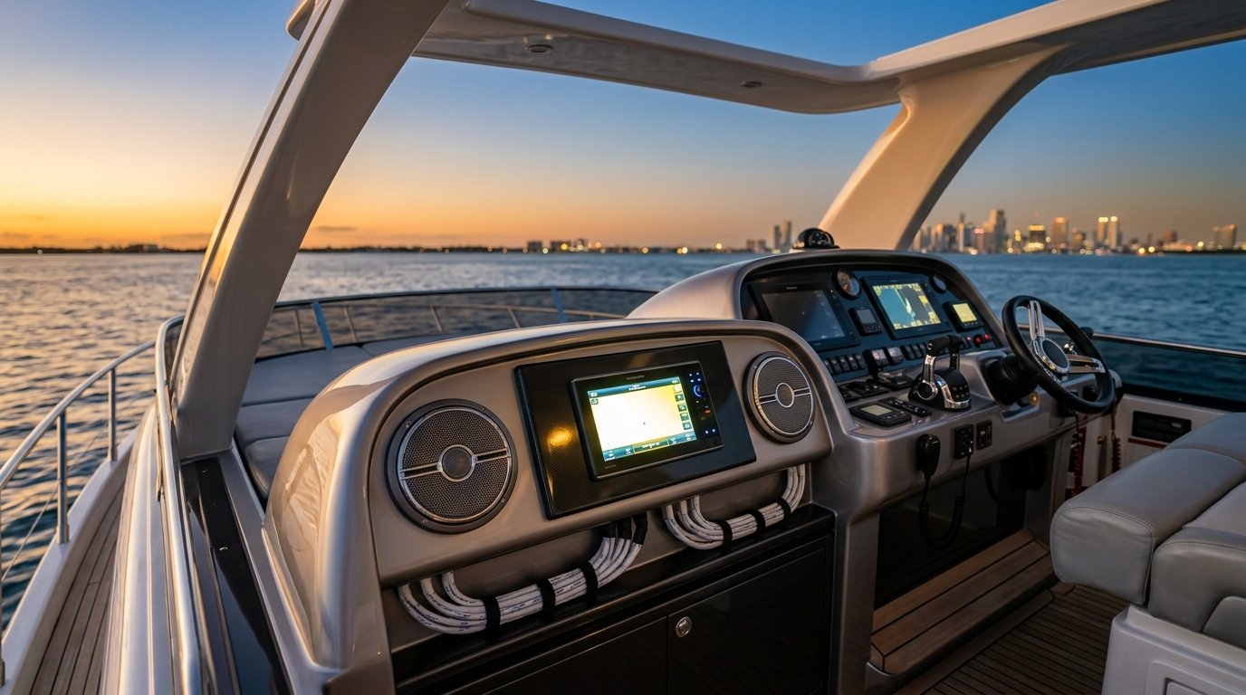
Modern marine electronics are designed to communicate across a shared NMEA 2000 network. When properly installed, your chartplotter, VHF, radar, AIS transponder, autopilot, and engine instruments all share data seamlessly. Your VHF knows your position. Your chartplotter displays AIS targets with collision alerts. Your autopilot receives heading data from your compass module.
When this network is improperly configured—wrong termination resistors, incorrect backbone topology, undersized drop cables—the entire system becomes unreliable. Intermittent failures, phantom alarms, and data dropouts are common symptoms of a poorly built NMEA 2000 backbone. For a Bahamas crossing, these are unacceptable risks.
Factory-trained technicians who specialize in marine electronics installation understand the specific network load requirements, connector standards, and power distribution protocols that ensure your NMEA 2000 system performs reliably offshore.
Radar: Non-Negotiable for Offshore Passages
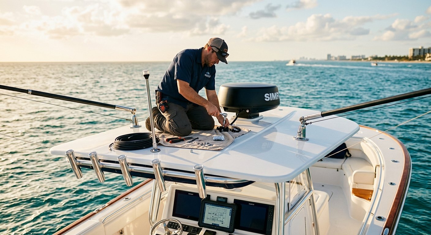
Squalls develop quickly in Bahamian waters, particularly during the summer months. Radar gives you situational awareness that no other technology replicates—it sees through rain, darkness, and haze. For vessels up to 40 feet, a solid-state 18- or 24-inch dome radar provides excellent range and target discrimination. Larger vessels often benefit from open-array units with extended range capabilities.
Radar integration with your MFD enables radar overlay on chart views, combining positional awareness with real-time target data. MARPA (Mini Automatic Radar Plotting Aid) can track moving targets and calculate collision risk—a feature that becomes essential in commercial shipping lanes between Florida and Nassau.
AIS Transponders: See and Be Seen
An AIS Class B transponder broadcasts your vessel’s position, speed, and heading to nearby commercial ships and other AIS-equipped vessels. Given the commercial traffic in the Northwest Providence Channel and near Nassau Harbor, transmitting your position is a basic safety measure. Class B transponders are affordable, compact, and integrate cleanly into your NMEA 2000 network.
According to the USCG’s AIS documentation, Class B transponders update position every 30 seconds when underway—sufficient for recreational vessel traffic reporting without overwhelming the AIS network. Confirm your unit is properly programmed with your MMSI and vessel data before departure.
Satellite Communication: When Cellular Ends
Beyond about 20 miles offshore from Jupiter or Stuart, you lose cellular service. For Bahamas crossings, satellite communication options have improved significantly in 2026. Garmin’s inReach technology provides two-way messaging and SOS capability via the Iridium satellite network. For vessels making regular passages, a satellite phone or a dedicated marine satellite communicator provides weather briefing access and emergency contact capability that cellular simply cannot match offshore.
Starlink Maritime has also become a viable option for larger vessels making extended Bahamas stays, providing broadband internet connectivity that enables real-time weather routing services and chart updates even in the outer islands.
Weatherproofing and Marine-Grade Specifications
The saltwater environment of South Florida and the Bahamas is corrosive to electronics. Marine-grade equipment carries IP (Ingress Protection) ratings indicating resistance to water and particulate intrusion. Displays mounted at the helm should be rated IPX6 or IPX7 at minimum. Equally important is how connections are made—improperly sealed cable terminations and non-tinned marine wire are leading causes of premature electronics failure in saltwater environments.
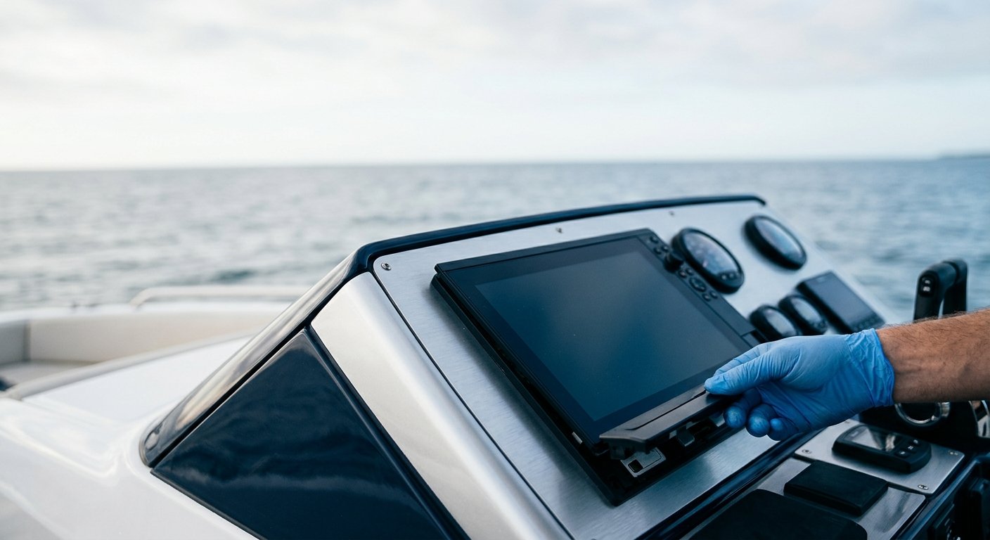
Professional boat electronics service includes attention to connector sealing, wire routing away from heat and moisture, and proper strain relief at every termination. These installation details extend equipment service life and prevent the kinds of failures that occur at the worst possible moments.
Planning Your Electronics Upgrade Before Bahamas Season
If you’re planning a crossing from Stuart, West Palm Beach, or Fort Lauderdale this season, the time to evaluate your electronics package is before departure—not on the morning you plan to leave. A pre-passage systems check by a qualified technician can identify network integration problems, antenna issues, software that needs updating, and equipment that’s operating outside spec.
MEI’s NMEA-certified installation specialists serve vessel owners throughout South Florida, from Stuart to Fort Lauderdale. Whether you need a complete electronics upgrade for your center console or want a systems review on your express cruiser before your next Bahamas crossing, our factory-trained technicians can assess and address what your vessel needs.
Frequently Asked Questions
What electronics are required for a Bahamas crossing?
At minimum, Bahamas-bound vessels should carry a DSC-equipped VHF radio registered with an MMSI number, a chartplotter with current Bahamian charts, radar, and some form of offshore communication such as a satellite communicator or SSB radio. An AIS transponder is strongly recommended for safety in commercial shipping lanes. All systems should be networked and tested before departure.
Does my VHF radio need to be connected to my GPS for Bahamas passages?
Yes. For DSC distress calls to transmit your position automatically to rescue authorities, your VHF radio must receive GPS data through your vessel’s NMEA 2000 or NMEA 0183 network. A VHF that isn’t connected to a GPS source will send a distress signal without position information—significantly reducing the effectiveness of any rescue response.
What is NMEA 2000 and why does it matter for offshore boating?
NMEA 2000 is the industry-standard communication network that allows marine electronics to share data with each other. A properly installed NMEA 2000 backbone enables your chartplotter, radar, AIS, autopilot, and VHF to function as an integrated system rather than isolated components. For offshore passages, this integration directly affects navigation accuracy and safety functionality.
How do I know if my boat electronics are ready for offshore use?
Have a qualified marine electronics technician perform a systems review that includes network integrity testing, antenna performance verification, software updates, and a check of all safety-critical integrations (VHF-GPS connection, AIS programming, DSC registration). Issues that seem minor at the dock often become significant problems in blue water.
Why should I use a professional installer instead of installing electronics myself?
Marine electronics installations involve complex network configurations, safety-critical integrations, and marine-grade wiring standards that DIY installations often miss. Improper installation can void manufacturer warranties, create intermittent failures, or compromise the DSC and AIS functions that vessels depend on in emergencies. NMEA-certified installers follow documented standards that protect both equipment performance and vessel safety.
Ready to Prepare Your Vessel for the Bahamas?
MEI’s licensed, insured, and NMEA-certified team is located at 7892 SW Jack James Dr, Stuart, FL 34997. We serve boat and yacht owners throughout South Florida, from Stuart and Jupiter to West Palm Beach and Fort Lauderdale. Call us at (772) 634-6055 to schedule a consultation or pre-passage electronics review. Protect your investment—and your crew—with systems installed to the standard the offshore environment demands.