A boat without a properly installed GPS system is a liability on the water—especially when you’re 40 miles offshore in the Gulf Stream or running across the Bahama Banks where visibility drops and depth changes fast. Yet one of the most common calls we receive at Marine Electronics Installers comes from boat owners dealing with the aftermath of a poor GPS installation: phantom signals, antenna interference, dead zones in the display, or a unit that simply won’t integrate with the rest of the electronics suite.
This guide walks through what a professional marine GPS installation actually involves—from initial planning and component selection to antenna placement, NMEA 2000 network integration, and final commissioning. Whether you’re upgrading an aging chartplotter on a 32-foot center console or outfitting a new yacht with a full navigation system, understanding the process helps you make smarter decisions and protect your investment.
Why Professional Installation Matters for Marine GPS
Marine GPS installation is fundamentally different from mounting a unit on a truck dashboard. Saltwater environments accelerate corrosion on every connection point. Vibration from offshore swells works loose any connector that isn’t properly secured and sealed. Interference from VHF radios, fishfinders, and autopilot systems can degrade GPS accuracy if antenna placement and cable routing aren’t handled correctly.
According to the U.S. Coast Guard Navigation Center, GPS signal degradation is one of the leading contributors to navigational errors in recreational boating incidents. Proper antenna placement and a clean installation directly affect signal quality and system reliability.
NMEA-certified installers follow rigorous standards developed by the National Marine Electronics Association to ensure that every component—from the chartplotter to the antenna to the network backbone—is installed to perform reliably in demanding conditions. That certification matters when you’re making an offshore passage from Stuart to Freeport.
Step 1: System Planning and Component Selection
Before a single wire is run, a professional installation starts with a consultation. The goal is understanding how you use your boat and what your navigation system needs to accomplish.
Key questions during this phase include:
- What type of boating do you do—inshore fishing, offshore runs, Bahamas crossings, or extended cruising?
- What electronics are already installed, and what needs to integrate with the new GPS?
- What size and type of display best fits your helm layout?
- Do you need radar overlay capabilities, sonar integration, or AIS connectivity?
- What is your primary vessel—a center console, express cruiser, or yacht?
South Florida boating demands specific capabilities. Running from Jupiter Inlet to the Bahamas requires detailed offshore charts, accurate depth data, and reliable waypoint management. The Garmin marine installation process, for example, involves selecting the correct chartplotter series and chart package for your intended waters—not just grabbing a popular model off the shelf.
Component selection also includes choosing the right antenna. GPS antenna specifications matter: a high-sensitivity external antenna mounted correctly delivers significantly better signal acquisition and lock time than an internal antenna in a mounted display, particularly at high speed or in rough sea states.
Step 2: Antenna Placement and Cable Routing
Antenna placement is where many DIY installations go wrong—and where professional expertise makes a measurable difference in system performance.
Antenna Location Principles
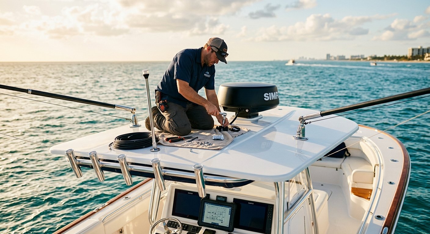
The GPS antenna must have an unobstructed 360-degree view of the sky. On a center console, this typically means a hardtop or T-top mount. On a larger vessel, the antenna often goes on the radar arch or a dedicated mast mount. The antenna must be positioned away from:
- VHF antenna radiation patterns
- Radar units (minimum separation distances apply based on radar power output)
- High-current DC wiring that can create electromagnetic interference
- Fiberglass structures with carbon fiber reinforcement, which can block satellite signals
Cable Routing
Antenna cables should be routed through the vessel’s structure using proper grommets and chafe protection at every penetration point. Cables that run unprotected through bilge areas or exposed to direct saltwater spray will fail prematurely regardless of the quality of the antenna itself. All connections must be sealed with marine-grade dielectric grease and appropriate weatherproof connectors—not the residential-grade wire nuts that show up in boats far too often.
Cable lengths also matter. Excessively long antenna cables introduce signal loss. Professional installers calculate the correct cable run length and select appropriate cable grade to maintain signal integrity from antenna to display head.
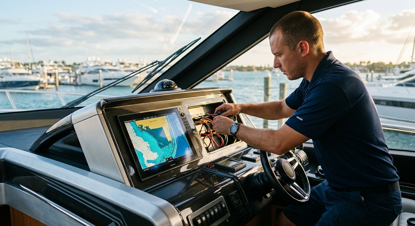
Step 3: Display Mounting and Power Wiring
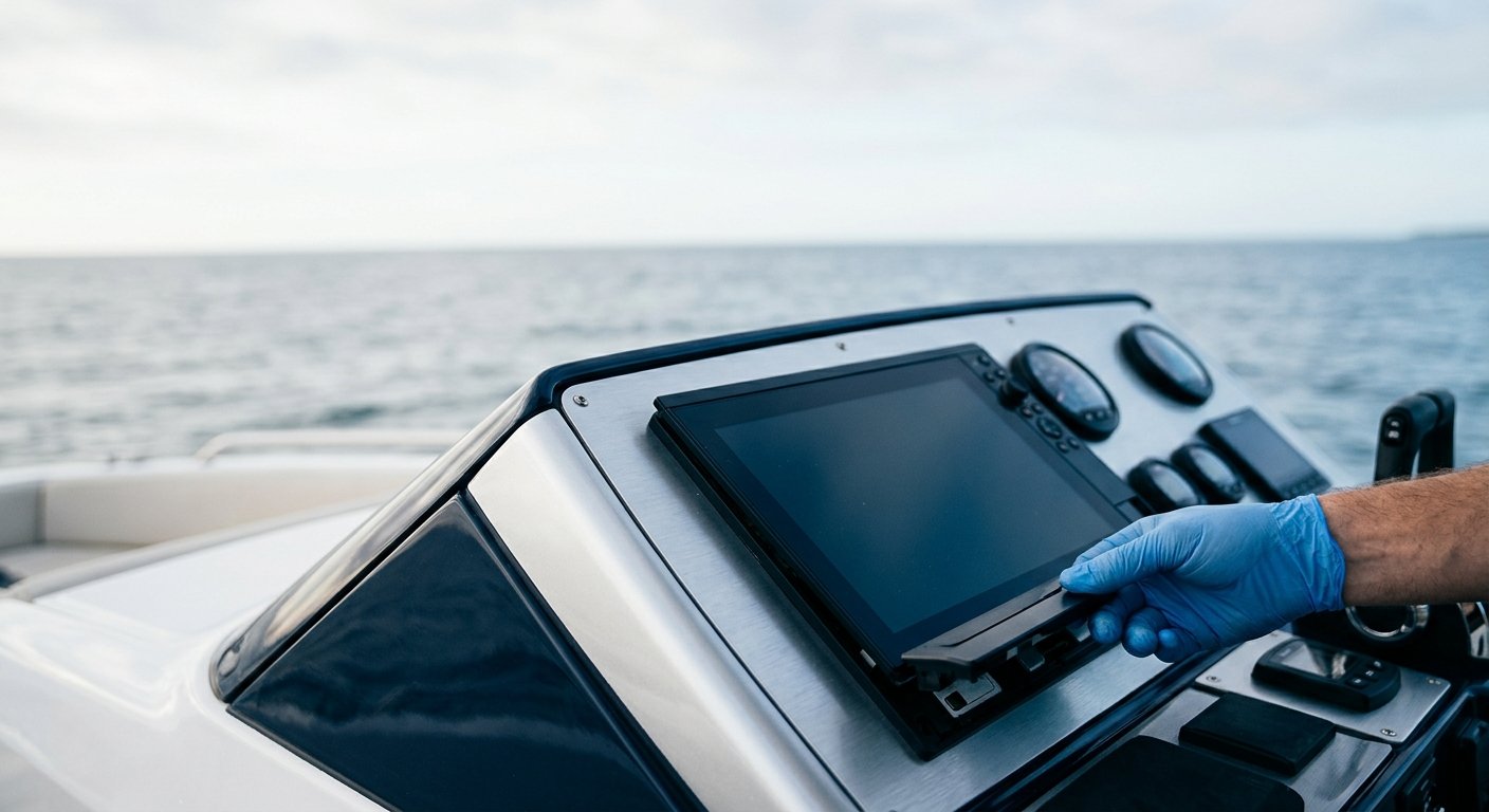
Chartplotter displays must be mounted for visibility, ergonomics, and safety. At the helm, a mounted display should be readable in direct sunlight—South Florida’s bright offshore conditions are unforgiving on screens with insufficient nit ratings. Anti-glare screen treatments and proper mounting angles both factor into day-to-day usability.
Power wiring for a marine GPS installation requires:
- Properly sized tinned marine-grade wire (not automotive wire, which corrodes faster in saltwater environments)
- Appropriate fusing or circuit breaker protection sized to the load
- Connections made with heat-shrink crimp terminals, not bare crimp connectors
- Clean runs back to the vessel’s DC panel, avoiding shared circuits with high-noise equipment
Voltage drop calculations are performed to ensure the display receives stable power at operating current draw. A chartplotter that browses out or resets underway because of a voltage drop issue isn’t just inconvenient—it’s a safety problem when you’re navigating the St. Lucie Inlet at night or running an inlet in following seas.
Step 4: NMEA 2000 Network Integration
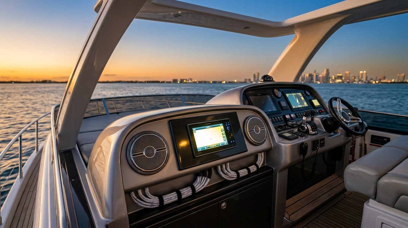
Modern boat navigation systems communicate over NMEA 2000 networks—a standardized digital protocol that allows GPS, autopilot, VHF radio, AIS transponder, depth sounder, and engine instruments to share data across a single network backbone. A GPS/chartplotter that’s properly integrated into an NMEA 2000 network can display engine data, receive AIS targets, control the autopilot, and share position data with a VHF DSC radio—all from a single screen.
Proper NMEA 2000 installation involves:
- Planning and installing the network backbone with correct cable and connector types
- Assigning proper device instance numbers to avoid data conflicts
- Installing appropriate termination resistors at both backbone ends
- Configuring network load calculations to prevent overload conditions
- Verifying that all connected devices communicate correctly after installation
This is the phase where NMEA-certified installers provide the most critical value. A poorly configured NMEA 2000 network produces erratic behavior across multiple systems—an autopilot that hunts, a chartplotter that drops AIS targets, or a GPS that feeds incorrect position data to a VHF radio’s DSC emergency function. Getting this right requires both technical knowledge and hands-on experience with the specific equipment combinations in use.
For boat owners upgrading to a complete navigation suite, our marine electronics installation services cover full system design and integration across all vessel types.
Step 5: System Commissioning and Testing
Commissioning is the final and non-negotiable phase of any professional marine GPS installation. This involves powering up all systems and methodically verifying every function:
- GPS satellite acquisition time and signal strength at the antenna
- Chart display accuracy and chart card verification
- Waypoint entry, route creation, and navigation function testing
- NMEA 2000 network diagnostic scans to confirm all devices are communicating
- Autopilot coupling verification (if applicable)
- AIS target display and MMSI programming (if applicable)
- VHF DSC position data verification
A sea trial is strongly recommended for any full navigation system installation. Real-world conditions—engine vibration, vessel movement, interference from operating electronics—can reveal issues that bench testing misses. MEI conducts thorough post-installation verification to ensure everything performs as intended before you leave the dock in Stuart or West Palm Beach headed offshore.
Common Installation Mistakes to Avoid
Understanding what goes wrong in poorly executed installations helps explain why professional expertise matters:
- Undersized antenna cables: Introduces signal loss that cannot be corrected after installation
- Antenna placed near VHF or radar: Creates interference that degrades accuracy
- Non-marine wire and connectors: Corrodes rapidly in saltwater environments, causing intermittent failures
- Skipped NMEA 2000 termination: Produces unpredictable network behavior across all connected devices
- Inadequate power circuit protection: Creates fire risk and equipment damage
- No cable strain relief: Connectors fail from vibration over time
Frequently Asked Questions
How long does a professional marine GPS installation take?
A standalone chartplotter installation on a center console typically takes four to six hours. A full navigation system installation with NMEA 2000 network integration, autopilot coupling, and AIS can take one to three days depending on vessel complexity. MEI provides a detailed scope of work and timeline estimate during the consultation phase.
What’s the difference between a chartplotter and a marine GPS?
A marine GPS receiver determines your vessel’s position using satellite signals. A chartplotter is a display unit that plots that GPS position on an electronic navigational chart. Most modern marine GPS displays are chartplotters that combine both functions in a single unit, often with additional capabilities like sonar, radar overlay, and NMEA 2000 network integration.
Do I need an external GPS antenna if my chartplotter has one built in?
Many chartplotter displays include an internal GPS antenna, but an external antenna typically provides better signal acquisition, faster lock times, and more reliable performance—especially on vessels where the helm is enclosed or partially shaded. For offshore passages from South Florida to the Bahamas, an external antenna is a worthwhile investment in reliability.
Can I add a marine GPS to my existing electronics without replacing everything?
In most cases, yes. NMEA 2000 networks are designed to accommodate new devices without requiring a full system replacement. An NMEA-certified installer can assess your existing equipment, identify integration opportunities, and add a new GPS/chartplotter in a way that leverages your current investment.
What certifications should I look for in a marine electronics installer?
NMEA certification is the primary industry credential for marine electronics installers. Factory training from major manufacturers like Garmin also ensures that technicians understand the specific configuration and installation requirements for the equipment being installed. MEI’s technicians hold both NMEA certification and factory training credentials.
Ready to Upgrade Your Navigation System?
A properly installed marine GPS system is one of the most important safety investments you can make as a boat owner. Whether you’re navigating the waters off Hobe Sound, running the Roosevelt Bridge in Stuart, or preparing for a Bahamas crossing from Fort Lauderdale, reliable navigation electronics give you confidence and situational awareness that no amount of experience can fully replace.
Marine Electronics Installers serves boat and yacht owners from Stuart to Fort Lauderdale, including West Palm Beach, Palm Beach, Jupiter, and Hobe Sound. Our NMEA-certified, factory-trained technicians bring both technical expertise and genuine knowledge of South Florida’s offshore conditions to every installation.
Contact MEI at (772) 634-6055 or visit us at 7892 SW Jack James Dr, Stuart, FL 34997 to schedule a consultation. We’ll assess your vessel, your navigation needs, and build a system that performs when it matters most.